
This is our planned route to during our Kili climb:
day 1 Moshi -car- Londorossi park gate – Mti Mkubwa (Big Tree) 2795m via Chamber’s Route
day 2 Mti Mkubwa – Shira Caldera – Shira 1 Camp 3505m
day 3 Shira 1 Camp – Shira Plateau – Shira 2 Camp 3730m
day 4 Shira 2 Camp – pass Lava Tower – Barranco 3865m
day 5 Barranco – Karranga Valley – acclimatisation hike – Karranga Valley 4100m
day 6 Karranga Valley – via Mweka trail – Barafu 4633m
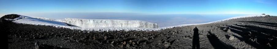
day 7 Barafu – Stella Point – UHURU PEAK 5895m – Mweka Hut 3102m
day 8 Mweka Hut – Mweka Village 1450m -car- Arusha
Below the map. We start on the Lemosho (yellow) route. On day 4 we join the Machame (orange) route, because the Western Breach is technical climbing, which we should not try.
On our way down we follow the Mweka (purple) route.

Link to the map: http://www.climbmountkilimanjaro.com/KILIMANJARO-MAP.jpg (the map doesn’t fit this blog, so click the link if you want to see the complete map)
From the makers of the very informative trekking guide on Kilimanjaro.
It’s a long route. The fastest normal route, the Marangu (green) route, is only 5 days. But our longer route should be much better for acclimatising, meaning we have a much bigger change of reaching Uhuru Peak. Alsmost each day we get to a (much) higher point than the camp where we sleep, giving the body even more possibilities to get used to the hight. Besides that we should have more time to enjoy the surroundings. And the first couple of days we should not encounter too much other people, because it’s a not often used route.
Filed under: Mt. Kilimanjaro, Vacation | Tagged: acclimatisation, route | 2 Comments »
 on LinkedIn